Products tagged with 'navigation'
Highlander
Deluxe Map Compass
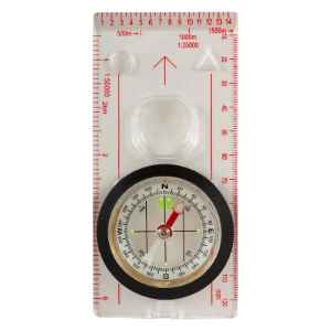
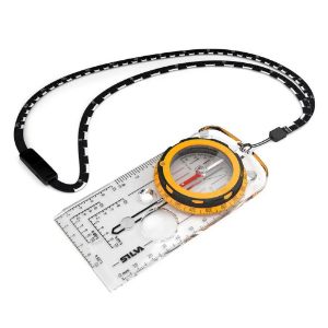
The Highlander Deluxe Map Compass is a vital tool to ensure you navigate accurately while exploring new areas. Its luminous directional markings and needle make it easy to use day or night. The base plate features clear meridian lines and roamer scales, along with a magnifying viewer for simplified map reading. With a convenient lanyard, you can keep the compass accessible around your neck while on the move.
Silva
Field
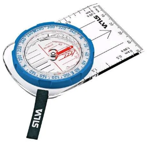
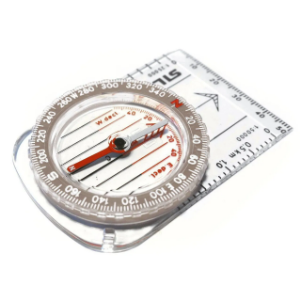
The Silva Field is a compass that's ideal for beginners, crafted to cater to the needs of schools, youth groups, and recreational outdoor enthusiasts. This compass features a base plate with millimetre map-measuring capabilities and scales of 1:50,000 and 1:25,000, making it compatible with the majority of maps.
Silva
Ranger
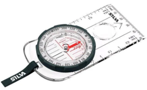
The Silva Ranger Compass has been designed for use by seasoned hikers and mountaineers, offering precision and reliability for challenging terrains. Recommended by the Duke of Edinburgh Award, this compass features an extended base plate for superior accuracy, enhancing safety during navigation. Additional features include a built-in magnifier for detailed map reading and durable construction designed for rugged outdoor use.
Silva
Competitor Cards
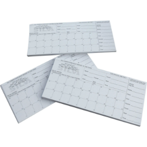
The Silva Orienteering Competitors Cards have 27 squares on each card and are used in conjunction with orienteering punches.
Silva
Expedition
The Silva Expedition compass comes with all of the usual useful features such as rubber feet to enable precision map work and luminous markings to aid night navigation. But it doesn’t end there, there's also a magnifying lens to better see small details on you map and a clinometer for measuring slope angle.
Silva
Classic Compass
This classically styled compass is ideal for hiking, walking, backpacking, orienteering and mountaineering, who wish to navigate using a map when outdoors in the hills/ mountains. Fitted with a ruled edge to measure distances easily and accurately and made a lightweight, durable base-plate this compass can withstand rigorous and frequent use outdoors.
