Products tagged with 'canoe map'
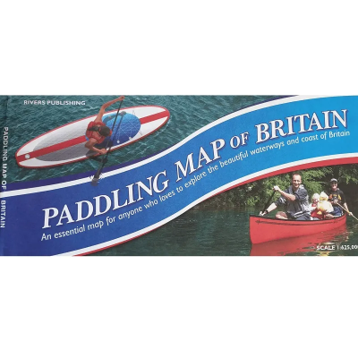
Pesda Press Paddling Map of Britain
The Pesda Press Paddling Map of Britain is a high-quality map of mainland Britain that shows the huge extent of paddle-sport possibilities on rivers, lakes, canals and along the coast. It is colour-coded to clearly show the nature of the these waterways. The author, Peter Knowles FRGS, is a world renowned expedition kayaker who has written and produced many popular kayaking guide books.
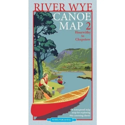
Rivers Publishing River Wye Canoe Map 2 - Hoarwithy to Chepstow
Rivers Publishing River Wye Canoe Map 2 - Hoarwithy to Chepstow is one of two strip maps for anyone wanting to explore the river Wye by canoe. Designed by canoeists for canoeists, it is very much a 'hands on' map - waterproof and easy to use whilst paddling down the river - it even floats!
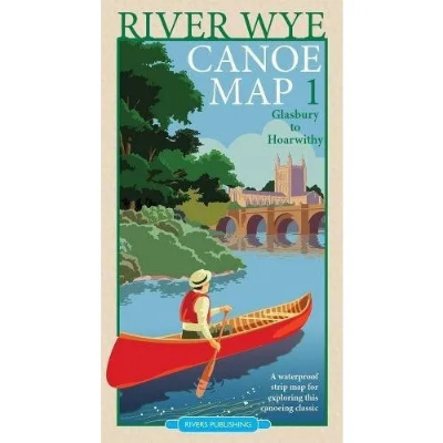
Rivers Publishing River Wye Canoe Map 1 - Glasbury to Hoarwithy
Rivers Publishing River Wye Canoe Map 1 - Glasbury to Hoarwithy is one of two strip maps for anyone wanting to explore the river Wye by canoe. Designed by canoeists for canoeists, it is very much a 'hands on' map - waterproof and easy to use whilst paddling down the river - it even floats!


