Wales
Cicerone Walking the Wales Coast Path
The Cicerone Press Walking the Wales Coast Path guide book covers the full 1400km coastal route around Wales. With 57 detailed stages, clear mapping, and practical planning advice, it suits both through walkers and section hikers. The guide includes transport information, accommodation listings, and downloadable GPX files. Ideal for exploring Wales’s dramatic coastline with confidence.
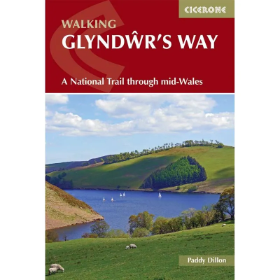
Cicerone Walking Glyndwr's Way
The Cicerone Press guidebook "Walking Glyndwr's Way" details the scenic National Trail in mid-Wales. Covering 135 miles from Knighton to Welshpool via Machynlleth, the trail typically takes 9 days to complete. For those seeking a circular route, an additional 2 days (29 miles) on the Offa's Dyke Path completes the loop. This trail winds through serene hills, forests, and picturesque countryside.
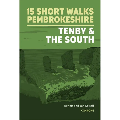
Cicerone Short Walks in Pembrokeshire
The Cicerone Press Short Walks in Pembrokeshire guidebook features 15 top walks selected by Dennis and Jan Kelsall, covering south Pembrokeshire, including Tenby. Each walk includes easy-to-read Ordnance Survey maps, clear route descriptions, and images, making it perfect for beginners and families. With no challenging terrain or complex navigation, these walks are enjoyable for everyone.
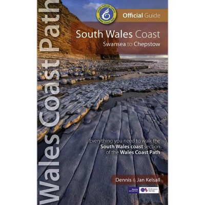
Northern Eye Books South Wales Coast - Swansea to Chepstow: Wales Coast Path Official Guide
The Northern Eye Books South Wales Coast - Swansea to Chepstow: Wales Coast Path Official Guide is endorsed and checked by National Resources Wales (NRW), these attractive and comprehensive guides contain everything you need to walk the Wales Coast Path.
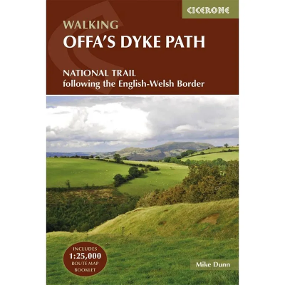
Cicerone Walking Offa's Dyke Path
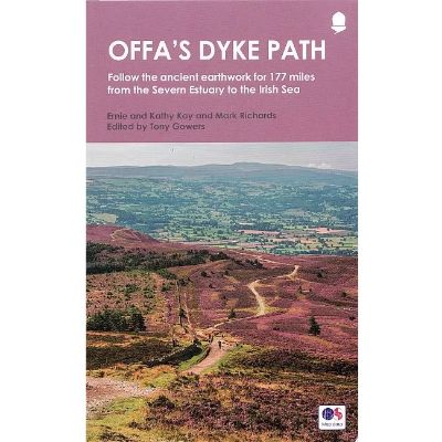
Cicerone Press Walking Offa's Dyke Path is a guidebook that describes Offa's Dyke Path National Trail, a 177 mile (283km) long-distance walk along the English-Welsh border between Sedbury (near Chepstow) and Prestatyn. The guidebook is split into 12 stages with suggestions for planning alternative itineraries. With OS 1:25,000 map booklet.
Aurum Press Offa's Dyke Path
The Aurum Press Offa's Dyke Path book is a national trail guide that follows the course of the 177 mile trail and the earthwork that gives it its name. Now fully updated, this version features the northern section of the path, following Natural England's acorn waymarks from Knighton to the coast at Prestatyn, a distance of 97 miles (155 km). This is the complete, official guide for the long-distance walker or the weekend stroller. All you need is this one book.
Wild Things Publishing Wild Guide - Wales and the Marches
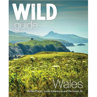
The Wildthings Wild Guide of Wales and the Marches features a new compendium of adventures, from the best-selling and award-winning Wild Guide series, now released for Wales and the Marches (Herefordshire and Shropshire). Guiding you to over 1000 secret places and wild adventures, including slow food treats and quirky places to stay, this book is perfect for the discerning explorer seeking unusual things to do off the beaten track.
Vertebrate Publishing Bikepacking Wales - 18 multi day off road cycling adventures
Vertebrate Publishing's Bikepacking Wales - 18 multi day off road cycling adventures by Emma Kingston is a fantastic guide that contains various biking adventure routes across Wales. Traverse the long, grassy ridges and heather-lined singletrack of the Brecon Beacons, explore the world-class trails in the remote Elan Valley, enjoy the stunning coastal trails on Rhossili Down on the Gower, complete the popular Trans Cambrian Way in the undulating Cambrian Mountains, and take a tour around the highest mountain in Wales and England - Yr Wyddfa (Snowdon) - including an optional route to the summit of Eryri (Snowdonia).
Kittiwake Press Short walks Around the Brecon Beacons
The Brecon Beacons National Park stretches from the English border to the Tywi valley in Carmarthenshire, a distance of nearly 50 miles, covering an area of 520 square miles. This swathe of southern Wales is divided into four distinct areas of high ground by the rivers Usk, Taf and Tawe. These rivers, here in their enthusiastic infancy, descend to meet the salt water of the Bristol Channel by the three great cities of the south, Newport, Cardiff and Swansea respectively.
Cicerone Walking The Severn Way
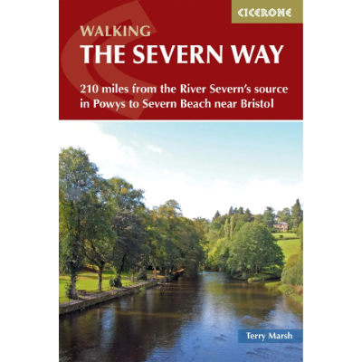
Guidebook to walking the Severn Way, a 210 mile (338km) walk through the Welsh borders. Beginning near the source of the River Severn in Powys, mid-Wales, and finishing in Bristol, the history-rich route is described over 22 stages (ranging from 3 to 14 miles), passing through the counties of Powys, Shropshire, Worcestershire and Gloucestershire.
Vertebrate Publishing Day Walks on the Pembrokeshire Coast: 20 Routes in South West Wales
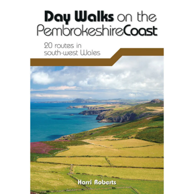
Day Walks on the Pembrokeshire Coast features 20 classic coastal routes between 6.5 miles and 13 miles (10.4km and 20.8km) in length, suitable for hillwalkers of all abilities.
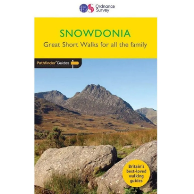
Pathfinder Snowdonia - Great Short Walks for All the Family
Immerse yourself in 20 beautiful country walks around Snowdonia with the OS Pathfinder Guidebooks, graded by length and ranging from two to nearly six miles. Make the most out of your next trip to Snowdonia! This guide has easy to follow instructions, contains an extract of the OS map for the area, and some background on the history and natural environment you may discover.
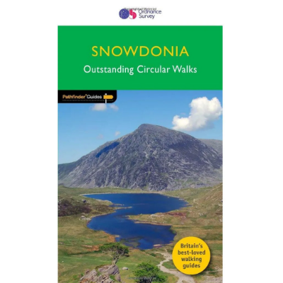
Pathfinder Snowdonia - Outstanding Circular Walks
Immerse yourself 28 beautiful walks in Snowdonia with the OS Pathfinder Guidebooks, graded by length and ranging from 3 to 12 miles. The routes range from extended strolls to longer hikes, something for all levels! Each walk includes a detailed description, an OS map, GPS waypoints, and notes of key features and things to see.
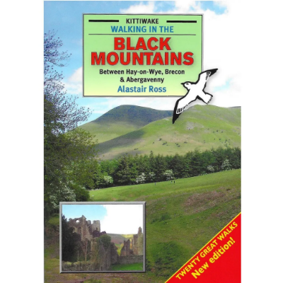
Kittiwake Press Walking in the Black Mountains - Between Hay-on-Wye, Brecon & Abergavenny
The Black Mountains are the first and last mountains of Wales. From the top of the easternmost ridge, and astride the border, you can see why a line was drawn here. To the east lie the fertile undulations of the English midlands. To the west, a succession of untamed ridges stretches to the western horizon.
Kittiwake Press Walking in the Brecon Beacons National Park
The Brecon Beacons National Park stretches from the English border to the Tywi valley in Carmarthenshire, a distance of nearly 50 miles, covering an area of 520 square miles. This swathe of southern Wales is divided into four distinct areas of high ground by the rivers Usk, Taf and Tawe. These rivers, here in their enthusiastic infancy, descend to meet the salt water of the Bristol Channel by the three great cities of the south, Newport, Cardiff and Swansea respectively.
Cicerone Mountains of England & Wales: Volume 1: Wales
The Nuttalls are hills over 2000ft high in England and Wales. The 190 Nuttalls in Wales are split into: Carneddau, Glyders, Snowdon, Moel Hebog, Moelwyns, Arenigs, Berwyns, Arans, Rhinogs, Cadair Idris, central Wales, Black Mountains, Brecon Beacons. Definitive lists, detailed route descriptions, maps and drawings of Wales' highest peaks.


