UK and Ireland Maps
Paper Maps and waterproof maps for Ireland and the United Kingdom from Ordnance Survey, Harvey and Sustrans. Includes the ever popular Ordnance Survey Explorer Outdoor Leisure and Landranger 1:25,000 and 1:50,000 scale mapping, and the Harvey Maps Superwalker, Long Distance Route and BMC British Mountain Maps.
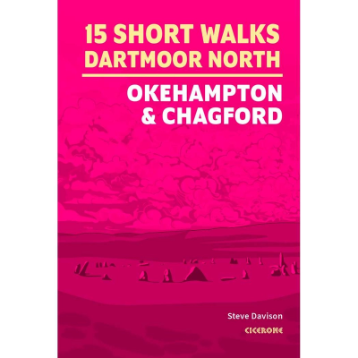
Cicerone Press 15 Short Walks Dartmoor North
Cicerone Press 15 Short Walks Dartmoor North is the ideal guidebook for exploring this stunning national park. Featuring 15 easy-to-follow routes under three hours, and including highlights like High Willhays, Yes Tor, Hound Tor, and Meldon Reservoir, this compact walking guide is perfect for families, beginners, and casual hikers alike. With Ordnance Survey maps, detailed route descriptions, local highlights, and year-round accessibility, it’s your essential companion for short walks in Dartmoor. Written by expert outdoor author Steve Davison, this guide makes discovering Dartmoor’s tors, ancient sites, and picturesque villages both simple and enjoyable.
Ordnance Survey Short Walks Made Easy
The Ordnance Survey Short Walks Made Easy series of guidebooks feature simple turn-by-turn directions and reassuring photos of selected points along the way, with easy-to-follow route profiles and easy-read, ultra-clear walk maps. These are the perfect guidebooks for those with no previous walking experience or specialist gear, featuring bottom-of-the-hill walks in some of Britain's favourite outdoor places. Fascinating places of interest may provide ideas for extending your visit, while Nature Notes point to things you might spot.
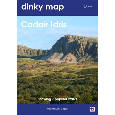
Ordnance Survey Dinky Map
The Ordnance Survey Dinky Map is a pocket-sized waterproof map that uses the OS Explorer Map background. A3 sized paper folded to A6 — that's the size of a small paperback book.
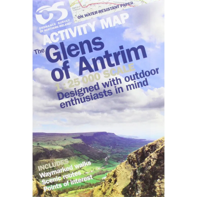
Ordnance Survey of Northern Ireland Activity Map Series 1:25 000
Derived from the popular Discover series, these 1:25 000 scale maps have been created for outdoor pursuits. As well as offering a detailed scale of 4cm to 1km, the maps also contain photographs of landmarks, tracks, cliffs, climbs and other useful information.
Harvey Maps XT40 Summit 1:12,500
The Harvey Summit Maps are high detailed maps of Britain's highest and most popular peaks at a scale of 1:12,500. These maps are intended to provide supplementary detail of a complex piece of terrain.
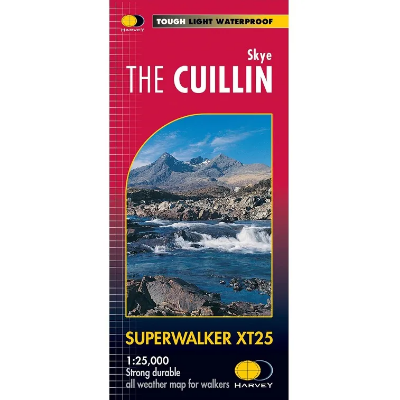
Harvey Maps Superwalker XT25
The Harvey Maps Superwalker XT25 maps include detailed 1:25,000 scale maps of the UK and 1:30.000 scale maps of Ireland that are exceptionally clear and easy to read. These maps are also 100% waterproof, tough and light.
Harvey Maps National Trails - Long Distance Route 1:40 000
The Harvey Maps National Trail Maps feature sensibly scaled 1:40 000 mapping, that gives enough detail for following a route across a large expanse of country and means that with clever fiddling you can get all of a National Trail on one or two maps. The mapping is sufficiently detailed, is completely waterproof and provides information on finding accommodation, camping and food availability.
Harvey Maps British Mountain Maps (BMC) 1:40 000
The Harvey Maps British Mountain Maps are made in co-operation with the British Mountaineering Council (BMC) and therefore are ideally suited for the needs of climbers and mountaineers. The mapping is 1:40 000 so you get a greater area covered by each map and it doesn't get cluttered with superfine details that can make 1:25 000 maps difficult to read on complex terrain.
Ordnance Survey of Ireland Discovery Series 1:50 000
The Ordnance Survey of Ireland Discovery Series 1:50 000 is a comprehensive series of maps that include detailed landscape information. The discovery series includes handy map symbols that indicate features like campsites, pubs, rights of ways and viewpoints that you will come across on your travels.
Ordnance Survey Landranger 1:50 000 Laminated
The Ordnance Survey Landranger 1:50 000 (Laminated) series covers mainland UK with 204 individual sheets. They are ideal for day trips and short breaks where the terrain is not too complex. Each map has a very durable laminated waterproof coating that seals the elements out and will help the map last a long time in difficult environments like Outdoor Centre use. You can write on them with markers and then wipe them clean again.
Ordnance Survey Landranger 1:50 000
The Ordnance Survey Landranger Map series covers mainland UK with 204 individual sheets. They are ideal for day trips and short breaks where the terrain is not too complex. Each map is covered with information to help you to move around and get to know the area.
Ordnance Survey Explorer Outdoor Leisure 1:25 000 Laminated
The Ordnance Survey Explorer Outdoor Leisure 1:25 000 Laminated Maps are an essential for those who like to explore and discover more. The famous Explorer range of maps from OS are the only maps of the UK that display footpaths, car parks, contour lines, campsites, pubs and more handy landmarks. With these, you'll be sure to always know your location whether walking, running, cycling or horse riding.
Ordnance Survey Explorer Outdoor Leisure 1:25 000
The Ordnance Survey Explorer Outdoor Leisure 1:25 000 Maps are an essential for those who like to explore and discover more. The famous Explorer range of maps from OS are the only maps of the UK that display footpaths, car parks, contour lines, campsites, pubs and more handy landmarks. With these, you'll be sure to always know your location whether walking, running, cycling or horse riding.
Ordnance Survey Explorer 1:25 000 Laminated
The Ordnance Survey Explorer 1:25 000 Laminated Maps have a durable and laminated waterproof coating that seals the elements out and will help the map last a long time in difficult environments like Outdoor Centre use. You can write on them with markers and then wipe them clean again. The actual map has a 4cm to 1km gridded scale this is the best map for anyone operating in the outdoors, whatever your pursuit. The Explorer will get you where you want to be by road and then take you off-road on foot, by bike or horseback.
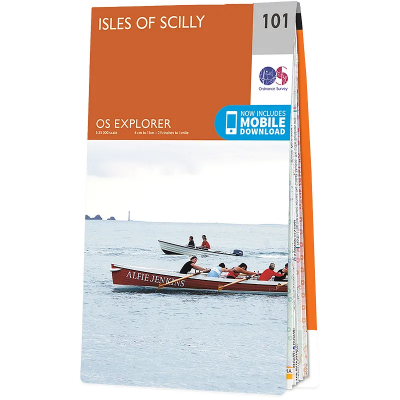
Ordnance Survey Explorer 1:25 000
The 403 Ordnance Survey Explorer 1:25 000 provide mapping across the whole of the UK. With a 4cm to 1km gridded scale, this is the best map for anyone operating in the outdoors, whatever your pursuit. The Explorer will get you where you want to be by road and then take you off-road on foot, by bike or horseback. The maps also show the symbols for features for things such as national trails, picnic areas, viewpoints, pubs and rights of way.
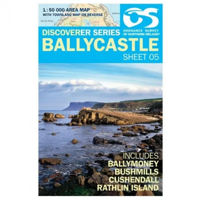
Ordnance Survey of Northern Ireland Discoverer Map Series 1:50 000
The Ordnance Survey Discoverer Map Series of Northern Ireland are Topographical Maps that are perfect for walking and hiking. They are very detailed and cover a large area. These maps show many topographical features you may come across on walks, such as pubs, campsite, rights of way and national trust areas.
- 1
- 2

