European Maps
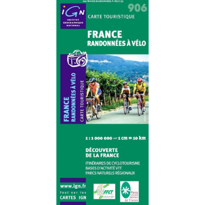
France IGN French Leisure Maps
Maps covering the whole of France that display important walks, cycling routes, rivers, cliffs and crags.1:1 000 000 scale
France IGN French Série Bleue and TOP 25
Featuring tourist information and footpaths including GR routes as well as contours and sensible shading to help define ridges and valleys. The walker, mountaineer and traveller option.
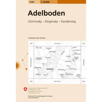
Swisstopo Swiss National Map 1:25 000
The whole of Switzerland on 247 maps that display highly accurate detail suited to travelling, walking and mountaineering. Railways, roads, paths and rivers are all displayed combined with buildings, vegetation and terrain features.
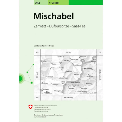
Swisstopo Swiss National Map 1:50 000
The whole of Switzerland on 78 maps that display highly accurate detail suited to travelling, walking and cycling. Railways, motorways, roads, main paths and rivers are all displayed and labelled combined with buildings, vegetation and terrain features.
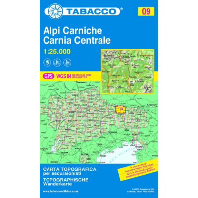
Tabacco Dolomites 1:25 000
Quality mapping of the Dolomites showing contours, roads, paths, huts, bivouac huts, inns and chair lifts.
France IGN Série Bleue and TOP 25
Sale - at least 50% off RRP on selected sheets Equivalent to OS maps in the UK these French maps are 1:25 000 scale outdoor enthusiasts maps.

