Baton Wicks Publications
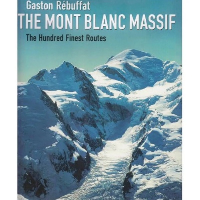
Mont Blanc Massif 100 Finest Routes
The ultimate Mont Blanc Massif tick list! This new edition of this ever popular book reflects the changes in equipment, developments in grading and new problems created by glacial retreat (hastened by global warming). The 100 routes featured are still regarded as bench marks against which any aspiring alpinist can test themselves - a fantastic testament to its author and proof of its enduring relevance.
Knife Edge Outdoor
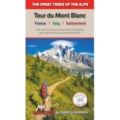
Tour Du Mont Blanc: The worlds most famous trek, everything you need to know to plan and walk it
Complete guidebook for planning and trekking the Tour du Mont Blanc, the world's most famous trek. Real maps for each stage: 1:25,000. No need to carry a separate map!
Michel Piola
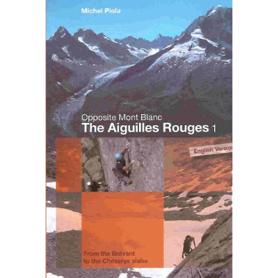
The Aiguilles Rouges 1: Opposite Mont Blanc - From the Brevent to the Chezerys Slabs
A new guide to the rock routes in the popular Aiguilles Rouges situated on the southern side of the Chamonix Valley.
Vertebrate Publishing
Mountaineering in the Mont Blanc Range: Classic Snow, Ice & Mixed Climbs
Mountaineering in the Mont Blanc Range showcases the most beautiful lower grade snow, ice and mixed climbs (F to AD+) in the seemingly inexhaustible Mont Blanc Range. The routes described in this book should be within the capabilities of almost all mountaineers.
Discount Codes
If you are a member of an outdoor or watersports group and have a discount code, please enter it in the box below.


