Products tagged with 'glyndwr's way'
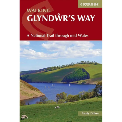
Cicerone Walking Glyndwr's Way
The Cicerone Press guidebook "Walking Glyndwr's Way" details the scenic National Trail in mid-Wales. Covering 135 miles from Knighton to Welshpool via Machynlleth, the trail typically takes 9 days to complete. For those seeking a circular route, an additional 2 days (29 miles) on the Offa's Dyke Path completes the loop. This trail winds through serene hills, forests, and picturesque countryside.
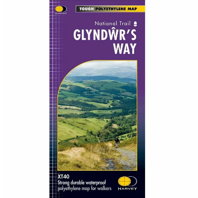
Harvey Maps National Trails - Long Distance Route 1:40 000
The Harvey Maps National Trail Maps feature sensibly scaled 1:40 000 mapping, that gives enough detail for following a route across a large expanse of country and means that with clever fiddling you can get all of a National Trail on one or two maps. The mapping is sufficiently detailed, is completely waterproof and provides information on finding accommodation, camping and food availability.


