Aurum Press
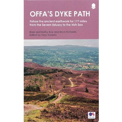
Offa's Dyke Path
The Aurum Press Offa's Dyke Path book is a national trail guide that follows the course of the 177 mile trail and the earthwork that gives it its name. Now fully updated, this version features the northern section of the path, following Natural England's acorn waymarks from Knighton to the coast at Prestatyn, a distance of 97 miles (155 km). This is the complete, official guide for the long-distance walker or the weekend stroller. All you need is this one book.
Cicerone
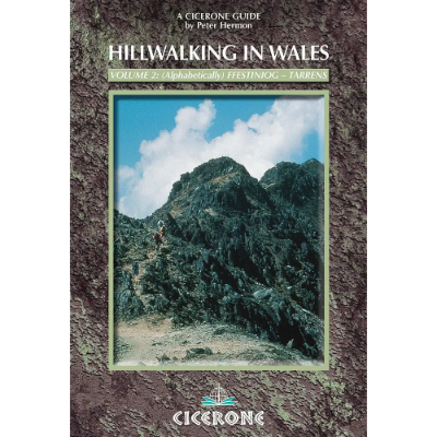
Mountains of England & Wales: Volume 1: Wales
The Nuttalls are hills over 2000ft high in England and Wales. The 190 Nuttalls in Wales are split into: Carneddau, Glyders, Snowdon, Moel Hebog, Moelwyns, Arenigs, Berwyns, Arans, Rhinogs, Cadair Idris, central Wales, Black Mountains, Brecon Beacons. Definitive lists, detailed route descriptions, maps and drawings of Wales' highest peaks.
Cicerone
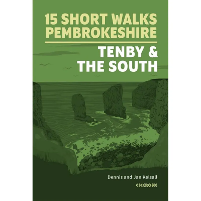
Short Walks in Pembrokeshire
The Cicerone Press Short Walks in Pembrokeshire guidebook features 15 top walks selected by Dennis and Jan Kelsall, covering south Pembrokeshire, including Tenby. Each walk includes easy-to-read Ordnance Survey maps, clear route descriptions, and images, making it perfect for beginners and families. With no challenging terrain or complex navigation, these walks are enjoyable for everyone.
Cicerone
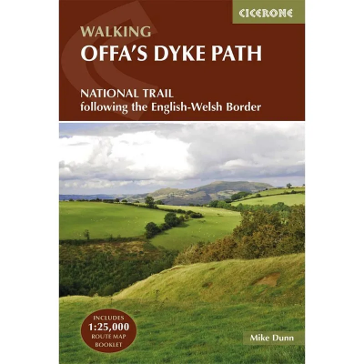
Walking Offa's Dyke Path
Cicerone Press Walking Offa's Dyke Path is a guidebook that describes Offa's Dyke Path National Trail, a 177 mile (283km) long-distance walk along the English-Welsh border between Sedbury (near Chepstow) and Prestatyn. The guidebook is split into 12 stages with suggestions for planning alternative itineraries. With OS 1:25,000 map booklet.
Cicerone
Ridges of Snowdonia - The Best Ridge Walks in Snowdonia
Guidebook of the best ridge walks in Snowdonia. Routes from 8km to 60km for competent and experienced walkers. Walks include ridges in the Carneddau, Glyders and Tryfan, Snowdon range, Crib Coch, Nantlle, Rhinogs, Arans, Cader Idris and a Snowdonia 3000er traverse.
Cicerone
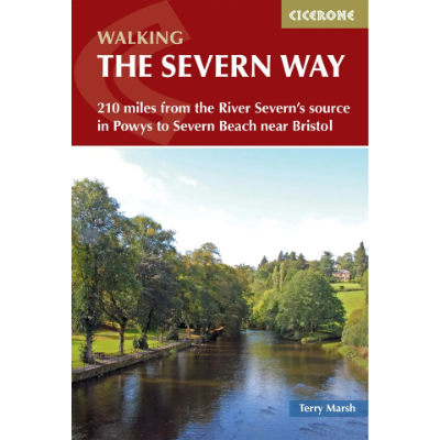
Walking The Severn Way
Guidebook to walking the Severn Way, a 210 mile (338km) walk through the Welsh borders. Beginning near the source of the River Severn in Powys, mid-Wales, and finishing in Bristol, the history-rich route is described over 22 stages (ranging from 3 to 14 miles), passing through the counties of Powys, Shropshire, Worcestershire and Gloucestershire.
Cicerone
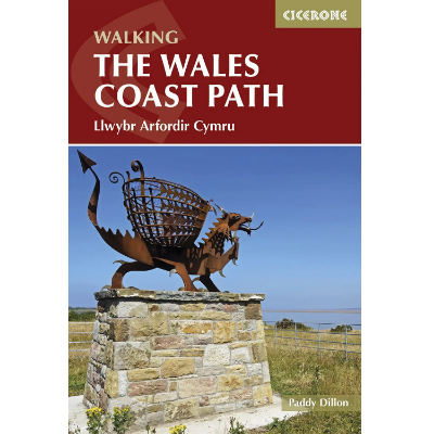
Walking The Wales Coast Path - Llwybr Arfordir Cymru
A single guidebook to walking the whole Wales Coast Path - 1400km (870 miles) the length of Wales from Chester to Chepstow, including Anglesey, described in 57 stages. The route passes through the Snowdonia and Pembrokeshire National Parks and many AONBs and can be linked with the Offa's Dyke Path for a complete circuit of Wales.
Discount Codes
If you are a member of an outdoor or watersports group and have a discount code, please enter it in the box below.

