Harvey Maps British Mountain Maps (BMC) 1:40 000
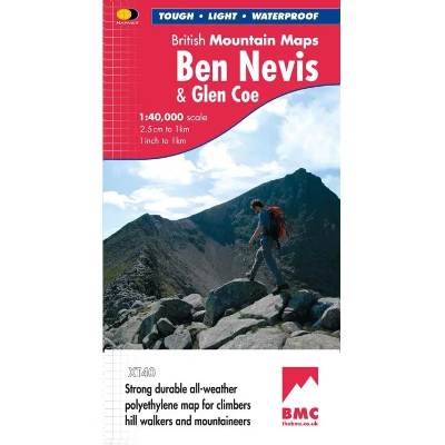
The Harvey Maps British Mountain Maps are made in co-operation with the British Mountaineering Council (BMC) and therefore are ideally suited for the needs of climbers and mountaineers. The mapping is 1:40 000 so you get a greater area covered by each map and it doesn't get cluttered with superfine details that can make 1:25 000 maps difficult to read on complex terrain.
Harvey Maps National Trails - Long Distance Route 1:40 000
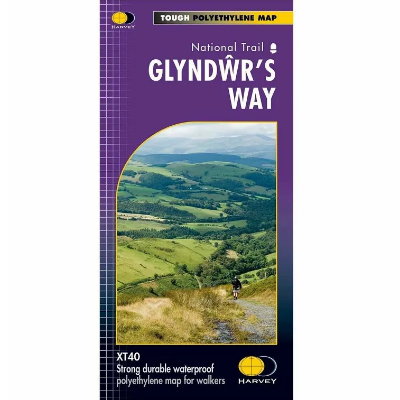
The Harvey Maps National Trail Maps feature sensibly scaled 1:40 000 mapping, that gives enough detail for following a route across a large expanse of country and means that with clever fiddling you can get all of a National Trail on one or two maps. The mapping is sufficiently detailed, is completely waterproof and provides information on finding accommodation, camping and food availability.
Harvey Maps XT40 Summit 1:12,500
The Harvey Summit Maps are high detailed maps of Britain's highest and most popular peaks at a scale of 1:12,500. These maps are intended to provide supplementary detail of a complex piece of terrain.
Ordnance Survey Explorer 1:25 000
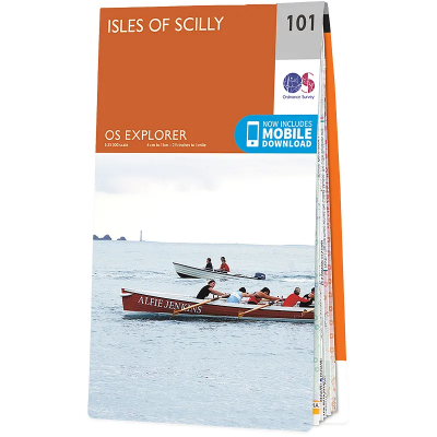
The 403 Ordnance Survey Explorer 1:25 000 provide mapping across the whole of the UK. With a 4cm to 1km gridded scale, this is the best map for anyone operating in the outdoors, whatever your pursuit. The Explorer will get you where you want to be by road and then take you off-road on foot, by bike or horseback. The maps also show the symbols for features for things such as national trails, picnic areas, viewpoints, pubs and rights of way.
Discount Codes
If you are a member of an outdoor or watersports group and have a discount code, please enter it in the box below.


