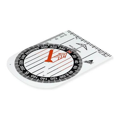
Silva Demo Compass
This Silva Demonstration compass version is ideal for whiteboard demonstrations and is made of white plastic.
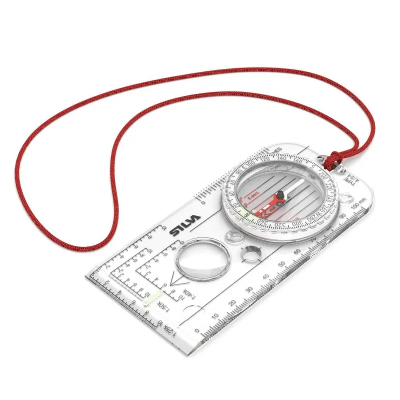
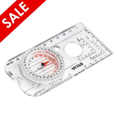
Silva Expedition 4
The Silva Expedition 4 is an advanced compass for serious navigation and high levels of accuracy. Primarily used by rescue workers and outdoor enthusiasts on demanding trips, the Expedition 4 offers everything you need in a compass to navigate advanced and precise techniques. It also features a handy map magnifier and Romer scaled suitable for 1:25, 40 and 50,000 grids. Thanks to its luminous markings it is possible to use for night navigation as well.
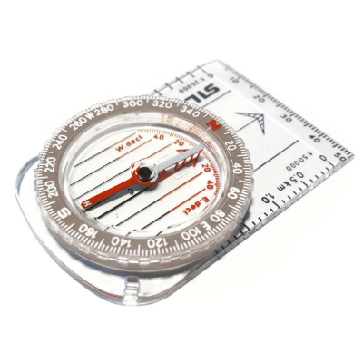
Silva Classic Compass
This classically styled compass is ideal for hiking, walking, backpacking, orienteering and mountaineering, who wish to navigate using a map when outdoors in the hills/ mountains. Fitted with a ruled edge to measure distances easily and accurately and made a lightweight, durable base-plate this compass can withstand rigorous and frequent use outdoors.
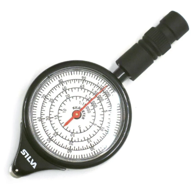
Silva Map Measurer Path
A well-planned journey begins in the comfort of your own home and leaves you time to enjoy the trip once you are actually out in the wilderness. With a map measurer your trip can be planned in detail, to avoid surprises on the way. Daily stages linked together with the number of days of the trip, should be equivalent to the distance you want to cover, to reach your goal in time.
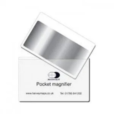
Harvey Maps Pocket Magnifier
The Harvey Maps Pocket Magnifier is a remarkably handy light flat plastic magnifier. Makes fine detail, or any print, easy to read. Supplied in protective plastic pocket
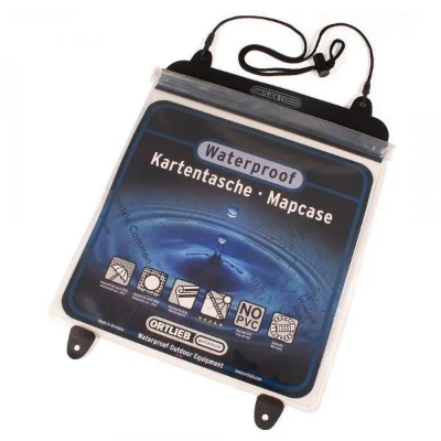
Ortlieb Map Case
The Ortlieb Map Case is the top pick among map cases. It features see-through panels on both sides and is constructed from robust rubber that outlasts wear and tear at the seams, setting it apart from less durable options. The secure top closure ensures waterproof protection and for added convenience, you can opt for the carrying cord accessory.
Silva Expedition 4-6400/360 Militaire / Military Compass
The Silva 4 Militaire is practically the same as the Expedition 4, but graduated in miles rather than degrees as favoured by the armed forces. It features a full-sized base plate, magnifier and rubber feet for precision map work. Specifically designed for use by the British military, the base plate features 1:25k, 1:50k and 1:40k roamer scales, as well as centimetre and inch rulers. The needle and cardinal points feature a luminous compound which is activated by daylight and will maintain brightness for up to 4 hours in darkness. The Militaire 4 is a classic compass used by NATO forces around the world.
off RRP
Discount Codes
If you are a member of an outdoor or watersports group and have a discount code, please enter it in the box below.

