Harvey Maps British Mountain Maps (BMC) 1:40 000
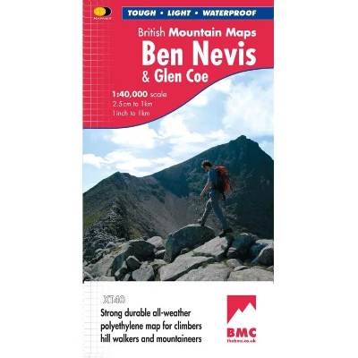
The Harvey Maps British Mountain Maps are made in co-operation with the British Mountaineering Council (BMC) and therefore are ideally suited for the needs of climbers and mountaineers. The mapping is 1:40 000 so you get a greater area covered by each map and it doesn't get cluttered with superfine details that can make 1:25 000 maps difficult to read on complex terrain.
Harvey Maps Superwalker XT25
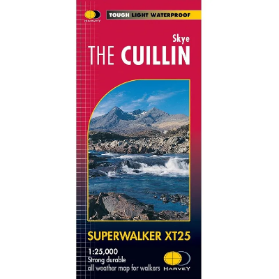
The Harvey Maps Superwalker XT25 maps include detailed 1:25,000 scale maps of the UK and 1:30.000 scale maps of Ireland that are exceptionally clear and easy to read. These maps are also 100% waterproof, tough and light.
Harvey Maps XT40 Summit 1:12,500
The Harvey Summit Maps are high detailed maps of Britain's highest and most popular peaks at a scale of 1:12,500. These maps are intended to provide supplementary detail of a complex piece of terrain.
Ordnance Survey Dinky Map
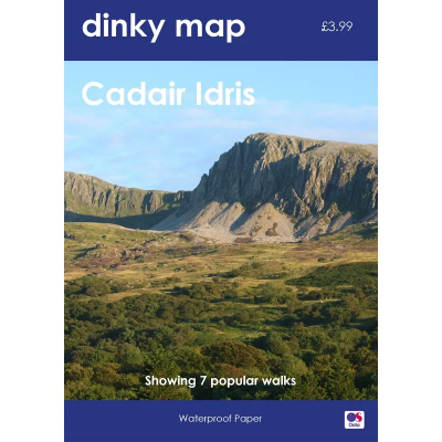
The Ordnance Survey Dinky Map is a pocket-sized waterproof map that uses the OS Explorer Map background. A3 sized paper folded to A6 — that's the size of a small paperback book.
Ordnance Survey Explorer Outdoor Leisure 1:25 000 Laminated
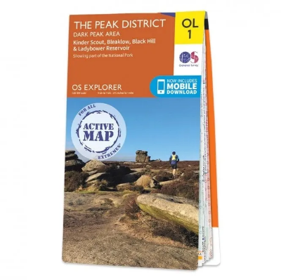
The Ordnance Survey Explorer Outdoor Leisure 1:25 000 Laminated Maps are an essential for those who like to explore and discover more. The famous Explorer range of maps from OS are the only maps of the UK that display footpaths, car parks, contour lines, campsites, pubs and more handy landmarks. With these, you'll be sure to always know your location whether walking, running, cycling or horse riding.
Ordnance Survey Landranger 1:50 000 Laminated
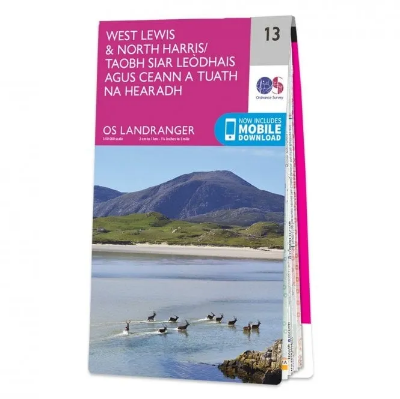
The Ordnance Survey Landranger 1:50 000 (Laminated) series covers mainland UK with 204 individual sheets. They are ideal for day trips and short breaks where the terrain is not too complex. Each map has a very durable laminated waterproof coating that seals the elements out and will help the map last a long time in difficult environments like Outdoor Centre use. You can write on them with markers and then wipe them clean again.
Ordnance Survey of Northern Ireland Activity Map Series 1:25 000
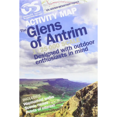
Derived from the popular Discover series, these 1:25 000 scale maps have been created for outdoor pursuits. As well as offering a detailed scale of 4cm to 1km, the maps also contain photographs of landmarks, tracks, cliffs, climbs and other useful information.
Ordnance Survey of Northern Ireland Discoverer Map Series 1:50 000
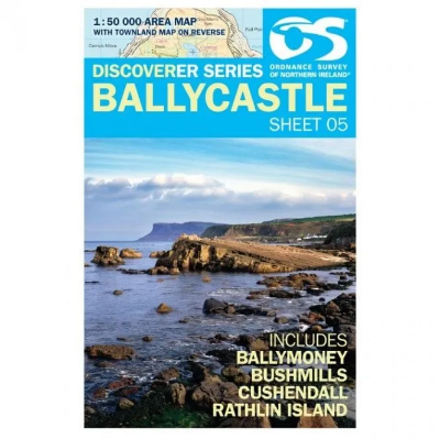
The Ordnance Survey Discoverer Map Series of Northern Ireland are Topographical Maps that are perfect for walking and hiking. They are very detailed and cover a large area. These maps show many topographical features you may come across on walks, such as pubs, campsite, rights of way and national trust areas.
Discount Codes
If you are a member of an outdoor or watersports group and have a discount code, please enter it in the box below.

